

Country information
Clipperton Island
- Capital
- N/A
- Population
- 0
Languages spoken
No languages recorded for Clipperton Island yet.
About Clipperton Island
It is visited only occasionally by scientific expeditions and the French navy, where French is the language of administration.
(possession of France)
| Geography |
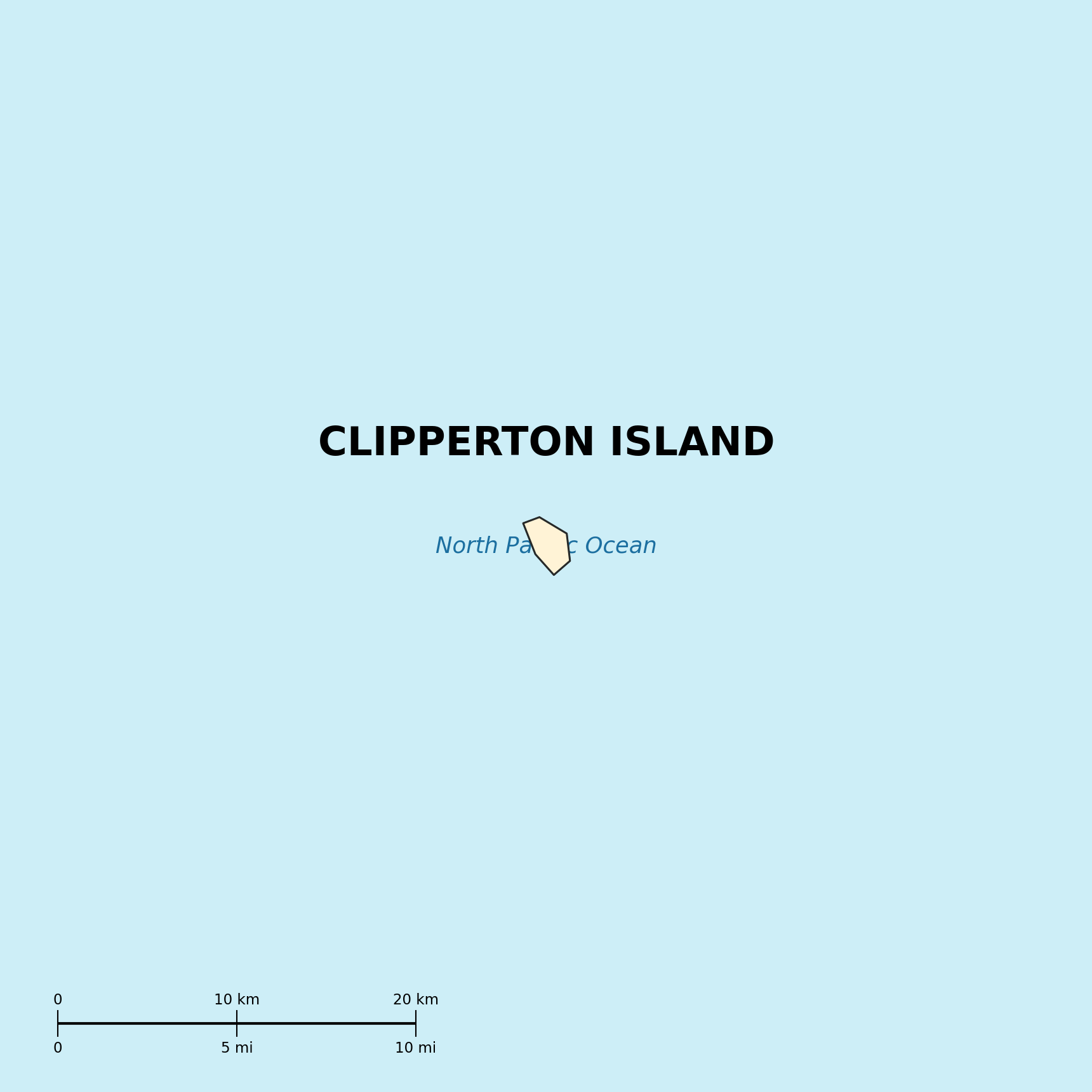
Location: Middle America, atoll in the North Pacific Ocean, 1,120 km southwest of Mexico
Geographic coordinates: 10 17 N, 109 13 W
Map references: World
Area:
total: 7 sq km
land : 7 sq km
water: 0 sq km
Area - comparative: about 12 times the size of The Mall in Washington, DC
Land boundaries: 0 km
Coastline: 11.1 km
Maritime claims:
exclusive economic zone: 200 nm
territorial sea: 12 nm
Climate: tropical, humid, average temperature 20-32 degrees C, rains May-October
Terrain: coral atoll
Elevation extremes:
lowest point: Pacific Ocean 0 m
highest point : Rocher Clipperton 29 m
Natural resources: none
Land use:
arable land: 0%
permanent crops : 0%
permanent pastures: 0%
forests and woodland: 0%
other: 100% (all coral)
Irrigated land: 0 sq km (1993)
Natural hazards: subject to tornadoes
Environment - current issues: NA
Environment - international agreements:
party to: NA
signed, but not ratified : NA
Geography - note: reef about 8 km in circumference
| People |
Population: uninhabited
| Government |
Country name:
conventional long form: none
conventional short form: Clipperton Island
local long form: none
local short form : Ile Clipperton
former: sometimes called Ile de la Passion
Data code: IP
Dependency status: possession of France; administered by France from French Polynesia by a high commissioner of the Republic
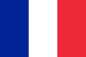
Flag description: the flag of France is used
| Economy |
Economy - overview: The only economic activity is a tuna fishing station.
| Transportation |
Ports and harbors: none; offshore anchorage only
| Military |
Military - note: defense is the responsibility of France
| Transnational Issues |
Disputes - international: none