

Country information
Bonaire, St. Eustatius & Saba
- Capital
- Kralendijk
- Population
- 31,000
Languages spoken
About Bonaire, St. Eustatius & Saba
Papiamentu - the most widely spoken language on Bonaire, and official there.
English - the main language of Sint Eustatius and Saba, and official on those islands.
Dutch - official on all three islands, used in government and education.
Spanish is also widely spoken on Bonaire.
Dutch is official on all three islands, with Papiamentu (Bonaire) and English (Sint Eustatius and Saba) also official locally.
| Geography |
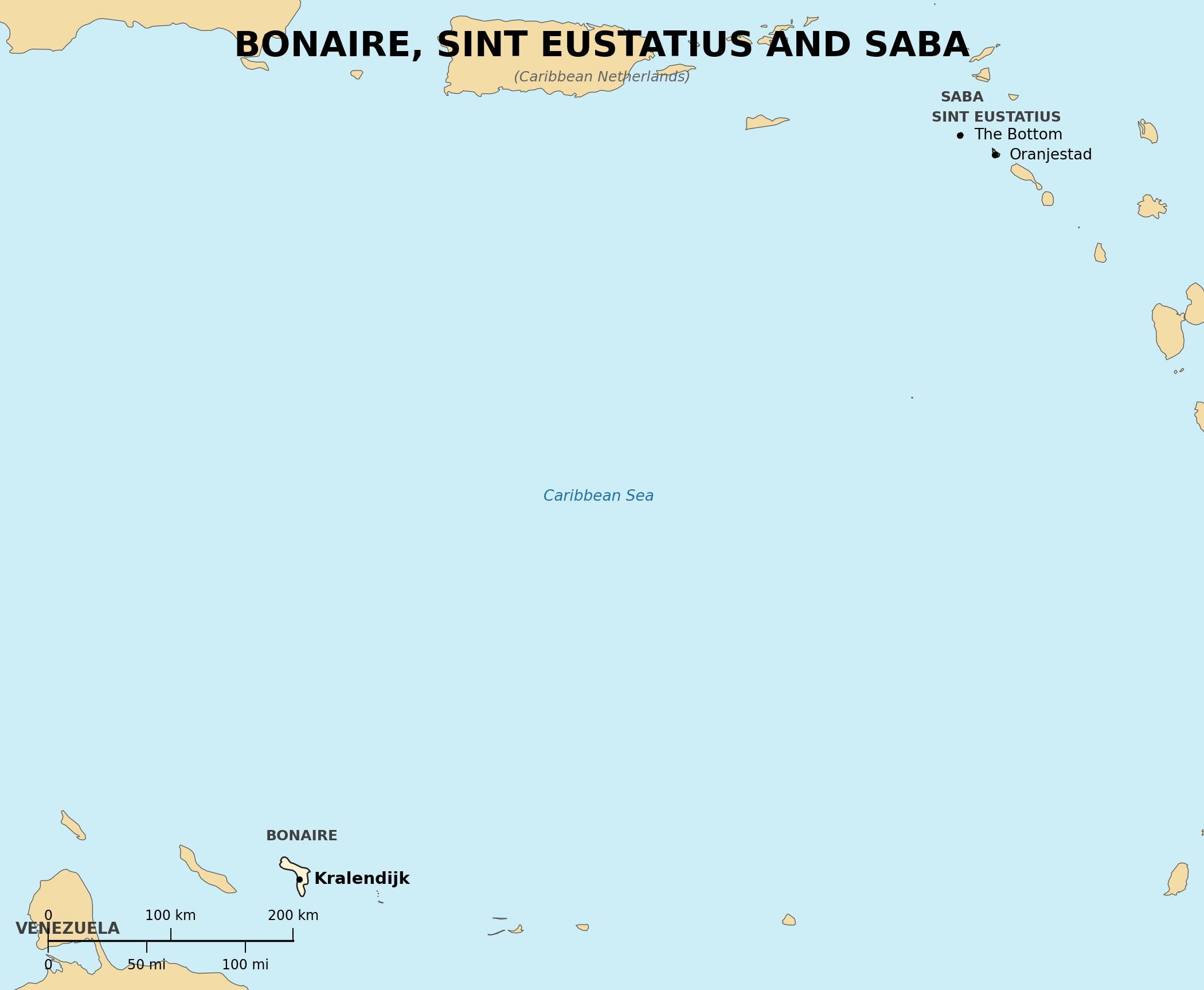
Location: Caribbean; Bonaire lies north of Venezuela near Curacao, while Sint Eustatius and Saba lie east of the Virgin Islands
Map references: Central America and the Caribbean
Area:
total: 328 sq km (Bonaire 294, Sint Eustatius 21, Saba 13)
Climate: tropical marine
Terrain: Bonaire is low and flat; Sint Eustatius and Saba are volcanic, with Saba's Mount Scenery the highest point in the Kingdom of the Netherlands (887 m)
| People |
Population: about 31,000 (2024 est.), most of them on Bonaire
Languages: Dutch (official), Papiamentu (official on Bonaire), English (official on Sint Eustatius and Saba), Spanish
| Government |
Country name:
conventional short form: Caribbean Netherlands
other name: BES Islands
Data code: BQ
Government type: special municipalities of the Netherlands
National capital: Kralendijk (Bonaire); Oranjestad (Sint Eustatius); The Bottom (Saba)
Background: The three islands were part of the Netherlands Antilles until its dissolution in 2010, when they became special municipalities of the Netherlands proper