
Country information
Northern Ireland (U.K.)
- Capital
- Belfast
- Population
- 1,920,000
Languages spoken
About Northern Ireland (U.K.)
English - spoken by nearly the entire population.
Irish (Gaelic) - officially recognized in 2022; about 12% of people report some knowledge of it.
Ulster Scots - a variety of Scots spoken mainly in counties Antrim, Down, and Londonderry, also officially recognized.
Polish, Lithuanian, and other immigrant languages are also spoken.
English, Irish, and Ulster Scots are recognized languages of Northern Ireland.
| Geography |
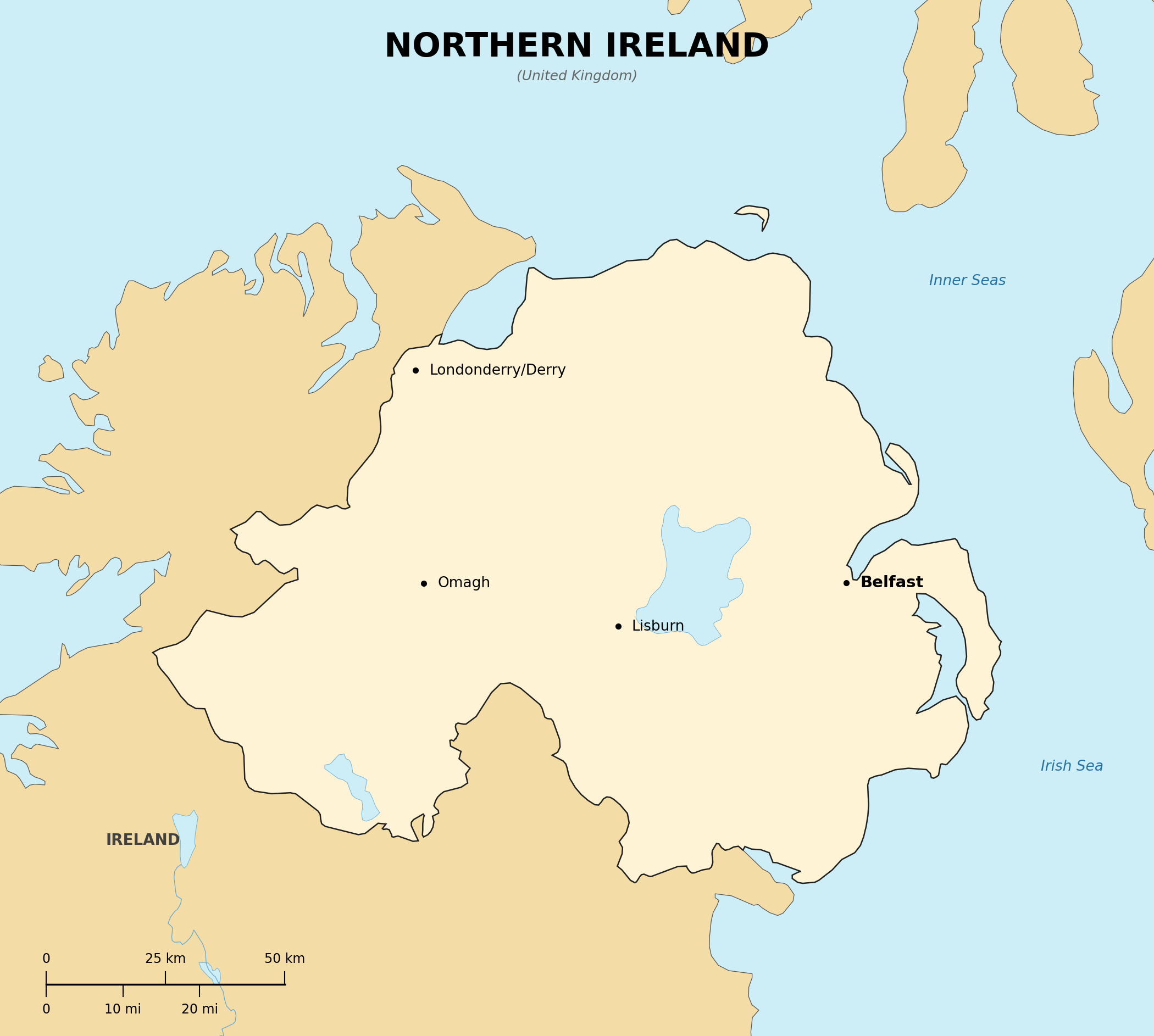
Location: Western Europe, the northeastern part of the island of Ireland
Map references: Europe
Area:
total: 14,130 sq km
Land boundaries:
border countries: Ireland
Climate: temperate maritime; mild, damp, and changeable
Terrain: hills and low mountains surrounding Lough Neagh, the largest lake in the British Isles
| People |
Population: about 1.9 million (2023 est.)
Languages: English; Irish and Ulster Scots (recognized minority languages)
| Government |
Country name:
conventional short form: Northern Ireland
Data code: GB-NIR
Government type: constituent part of the United Kingdom with a devolved Assembly and power-sharing Executive
National capital: Belfast
Background: Northern Ireland was created in 1921, when Ireland was partitioned; decades of conflict known as the Troubles ended largely with the 1998 Good Friday Agreement, which established the current power-sharing government